

The Sorsogon Provincial Disaster Risk Reduction and Management Office (SPDRRMO), in partnership with the National Mapping and Resource Information Authority (NAMRIA), successfully conducted a Training on Basic Geographic Information System (GIS) on September 8–12, 2025 at Fernando’s Hotel, Sorsogon City.
The five-day activity brought together key personnel from the Provincial Government of Sorsogon and representatives from Local Disaster Risk Reduction and Management Offices (LDRRMOs). The training aimed to build technical knowledge and practical skills in GIS, a vital tool in hazard mapping, disaster risk assessment, and evidence-based planning.
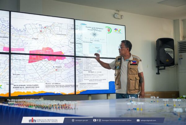
Resource persons from NAMRIA provided comprehensive lectures and hands-on sessions that covered GIS fundamentals, spatial data collection, digitization of maps, and the use of GIS software in developing hazard and risk maps. Participants were given opportunities to apply their learning by working on case-based exercises relevant to Sorsogon’s local context, such as identifying flood-prone and landslide-susceptible areas.
SPDRRMO emphasized that strengthening GIS capacities at the provincial and local levels is crucial in developing accurate and reliable data for disaster preparedness and response. “Equipping our personnel with geospatial knowledge means empowering them to make informed decisions that can save lives and protect communities,” the SPDRRMO Head noted during the closing program.
The training forms part of the province’s continuing efforts to enhance disaster resilience through science-based and technology-driven approaches. With improved capacity in GIS, Sorsogon’s DRRM offices are expected to produce more detailed and updated hazard maps that will inform planning, early warning, and emergency operations in the years ahead.